
| All returns accepted | ReturnsNotAccepted |
|---|---|
| Type | Map |
Check the listing for details. 1930 Map of Loudon County Tennessee. Listed at 30.00 USD. 1930 Map of Loudon County Tennessee 20" x 24" or 30" x 36" Full Color Map Plotted on Heavy Weight Archival Matte Paper or Fine Art Canvas. Canvas has an additional one inch white border all the way around for mounting if needed. This map shows towns, roads, railroads, houses, schools, churches, and more. This map is shipped safely in a map tube! Great for display & research! We ship USPS and UPS. Free shipping and items of certain lengths are shipped UPS.
You may also like
$69.99

JEAN GIRAUD MOEBIUS 1984 SCREEN PRINT COLOR LITHOGRAPH ART PRINT UNSIGNED PG 40
$20

Impression, Sunrise by Claude Monet - Giclee Print
$7.49

Bad lieutenant 1992 Harvey Keitel movie poster print
$200
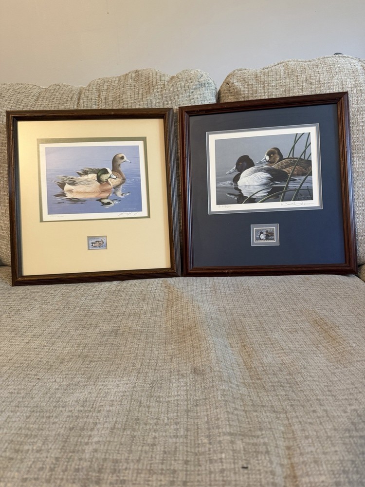
Ducks Unlimited william c morris 1984 print stamp signed numbered framed matted
$22.64

HARBOR ART PRINT Marketplace James Coleman
$26.99

Phillip Russell Goodwin - Blackfeet Indians on the Warpath - 17x26 Print Repro
$26.95

Grace by Eric Enstrom Daily Bread Praying At Dinner 16"X20" GLOSSY POSTER PRINT
$6.95

8x10 Cozy Storybook Hedge in Mushroom House Art Print Cottagecore - 783714976
$29.99

Patrick Nagel Art Print Duran Duran Rio Album Cover Artwork 1980's Classic Lady
$39.99

Boris Artzybasheff "R. Buckminster Fuller"Mounted off-set Lithograph 1998
$14.84

Antique Print Bird Engraving c1870 Le Vaillant’s Darter & White Gannet Coastal
$2.99

2001 Sue Rupp STUNNING Blank Notecard "Gardening Angel" 5x7