| All returns accepted | ReturnsNotAccepted |
|---|---|
| Country/Region of Manufacture | United States |
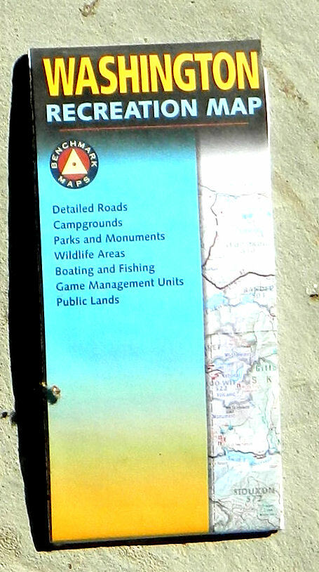
Check the listing for details. Benchmark Maps, Washington Recreation Map (2007, folded map). Condition: New. Listed at 3.75 USD. Benchmark Maps, Washington Recreation Map Excellent new detailed road and recreation map printed on two sides. The state map is shown on one side only, the reverse side is packed with information. The map employs detailed shaded relief to show the form of the of mountains. Color tints distinguish land management, with light green showing National Forests, darker greens Wilderness Areas, yellow Bureau of Land Management, violet National Parks, Monuments, and Recreation Areas, etc. State Game Management Unit boundaries are clearly shown. Roads of all sizes are distinguished, and point to point distances along major roads are shown in miles. The map also locates rest areas, major airports, campgrounds, RV parks, fishing areas, ski areas, hiking, rafting, amusement parks, zoos, birdwatching, universities, lighthouses, and much more. The text on the reverse side lists and briefly describes Forest and Wildlife Areas, Campgrounds, Ski Areas and Snoparks, National Parks and Monuments, and Boating and Fishing. A list of Information Resources gives you mailing addresses, phone numbers, and sometimes website addresses of responsible government offices. A section on climate information lists 26 Washington cities with their average high and low temperatures (with figures for both extreme and average temperatures) for January, April, July, and October. It also gives the average number of days with precipitation, average total precipitation, and average snowfall. An index enables you to locate cities, towns, and counties on the map. Scale, 1:650,000 (1 inch = 10.3 miles). Size: about 38 x 26½ inches. Folded. Paper.Published by Benchmark Maps, 2007. New.Publisher's price: $7.95. Please note that while this item is new, it has been in storage for many years and is not the newest edition.
You may also like