| All returns accepted | ReturnsNotAccepted |
|---|---|
| Country/Region of Manufacture | United States |
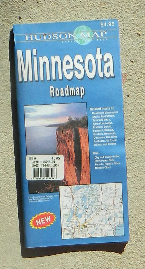
Check the listing for details. Hudson Map Co., Minnesota Roadmap (2005, folded map). Condition: New. Listed at 2.00 USD. Hudson Map Co., Minnesota Roadmap Detailed road map printed on two sides. On one side is the map of the whole state, showing roads of all sizes, clearly distinguished, plus scenic highways, county boundaries, airports, state parks, wayside parks, rest stops, historic sites, travel information centers, ports of entry, state, national and county forests, wilderness areas, wildlife refuges, and Indian reservations. Charts detail the amenities of State Historic Sites, State Parks, State Wayside Parks, and State Forests. Counties, cities and towns are indexed. The reverse side is devoted to detail maps showing the main streets of Rochester, Willmar, Austin, Moorhead, Albert Lea, Duluth, Winona, Faribault, Red Wing, Mankato, St. Cloud, Owatonna, Hibbing, and Brainerd, plus a particularly large detail map of the Twin Cities metropolitan area. Additional detail maps show all of the streets of downtown Duluth, Minneapolis, and St. Paul. Contact addresses and phone numbers for additional information are also given. Scale, about 1:665,000 (1 inch = about 10.5 miles). Size: about 27 x 32 inches. Folded. Paper.Published by Hudson Map Co., 2005. New.Publisher's price: $4.95. Please note that while this item is new, it has been in storage for many years and is not the newest edition.
You may also like


