| All returns accepted | ReturnsNotAccepted |
|---|---|
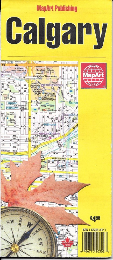
| Country/Region of Manufacture | Canada |
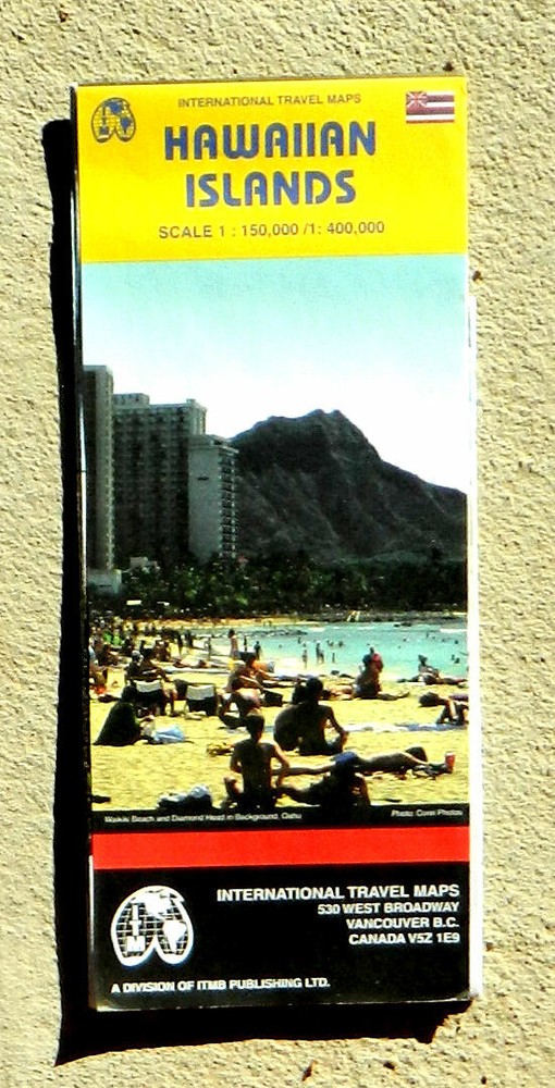
Check the listing for details. ITM, Hawaiian Islands travel map (2002, folded map). Condition: New. Listed at 3.50 USD. ITM, Hawaiian Islands travel map Detailed travel map printed on two sides. One side features the islands of Maui, Molokai, Lanai, and Kahoowale all on one map. The reverse side shows separate maps of Oahu, Kauai, Hawaii, and Niihau. The island maps show major and minor roads, parks, golf courses, hotels and other accomodations, points of interest, beaches, ranches, viewpoints, campsites, and more. Major elevation changes are clearly shown with color tints. There are also inset maps showing streets of the cities and towns of Hilo, Poipu, Lihue, Honolulu, Kahului, and Kaanapali Lahaina. Color photographs show a few of the attractions of the island chain. Scale of Hawaii (Big Island) map, 1:400,000 (1 inch = about 6.3 miles); scale of all other island maps, 1:150,000 (1 inch = about 2.4 miles). Size: about 36 x 27 inches. Folded. Paper.Published by International Travel Maps, Canada, 2002 (second edition). New.Item Publisher's price: $6.95. Please note that while this item is new, it has been in storage for many years and is not the newest edition.
You may also like