| All returns accepted | ReturnsNotAccepted |
|---|
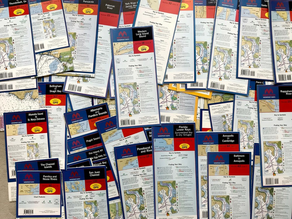
Check the listing for details. MAPTECH Waterproof Chart CHOOSE FROM OVER 50 maps NEW!. Condition: New. Listed at 15.75 USD. For sale are MAPTECH WATERPROOF CHARTS. We have over fifty NEW, never opened, maps we are offering. 24" x 36" and 14" x 60" unfolded. Please look at the list below and let us know which chart you would like. Happy to combine shipping for additional maps. Please check out the photos and email with any questions you might have. 24" x 36" #6 Peconic Bays to Montauk, Edition 2 #8 New York Harbor & Approaches, Edition 3 #41 Isle Au Haut to Petit Manan, Edition 1 #42 Mt. Desert Island to Machias Bay, Edition 1 #43 Baltimore to Annapolis, Edition 1 #45 Fire Island, NY to Little Egg Inlet, NJ, Edition 1 #58 New Orleans and Lake Pontchartrain, Edition 1 #89 Albemarle and Pamlico Sounds, Edition 2 #93 Winyah Bay to Charleston, Edition 1 #95 Tybee Island to Doboy Sound, Edition 1 #102 Oak Bay to Commencement Bay, Edition 1 (2 available) #103 Cape Flattery to Whidbey Island, Edition 1 #105 San Juan Channel, Edition 1 #106 Rosario Strait, Edition 1 #107 Bellingham to Skagit Bay, Edition 1 #108 Boundary Pass to Lummi Island, Edition 1 #120 San Francisco to Point Sur & Monterey Bay, Edition 1 #123 San Francisco Bay, Edition 1 #124 Lake Mead, Edition 1 14" x 60” #2 Connecticut River, Edition 5 #16 Western Long Island Sound, Edition 2 #23 Rappahannock River, Edition 1 #24 York River & James River, Edition 1 #35 Little Egg Harbor, NJ to Cape May, NJ, Edition 2 #48 Champlain Canal, Edition 1
You may also like


